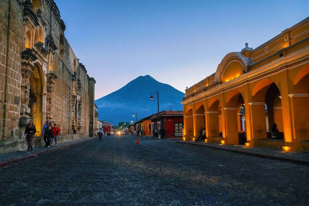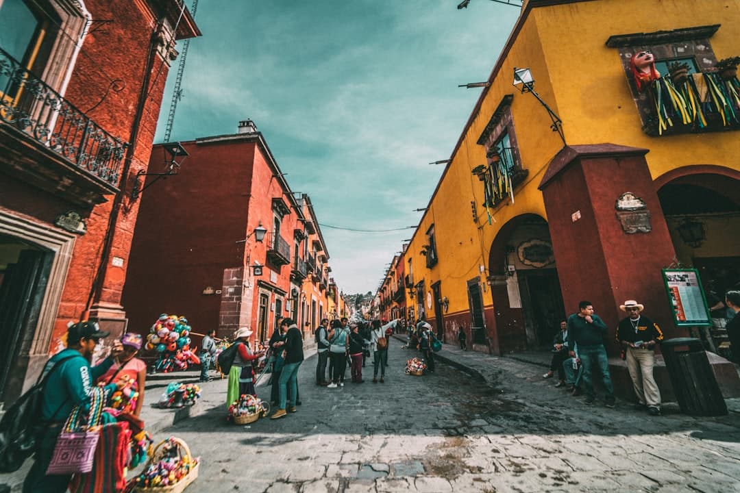
Guatemala, a country of roughly 109,000 square kilometers bordering Mexico, Belize, Honduras and El Salvador, contains one of the most geographically diverse landscapes in Central America. Within its borders, travelers encounter active volcanoes, highland lakes, cloud forests and lowland rainforests within relatively short distances of one another.
Volcanic Terrain
Guatemala sits along the Pacific Ring of Fire and is home to more than 30 volcanoes, several of which remain active. Volcán Pacaya, located south of Guatemala City, is one of the most frequently visited and has shown consistent eruptive activity in recent decades. Volcán Santiaguito, near the city of Quetzaltenango, is monitored continuously by the Instituto Nacional de Sismología, Vulcanología, Meteorología e Hidrología (INSIVUMEH). Volcán Acatenango, adjacent to the active Volcán de Fuego, is a popular multi-day trekking destination offering views of lava flows from Fuego.
Lake Atitlán and the Western Highlands
Lake Atitlán, situated in the western highlands at an elevation of approximately 1,562 meters above sea level, occupies a caldera formed by a massive volcanic eruption thousands of years ago. It is surrounded by several indigenous Maya communities and three volcanic peaks. The lake is recognized for its depth and clarity, and the surrounding region supports significant populations of the Kaqchikel and Tz'utujil Maya peoples.
The Petén Rainforest
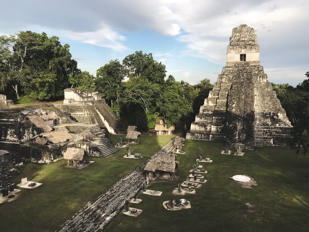
In northern Guatemala, the Petén department contains extensive lowland tropical rainforest that forms part of the broader Maya Biosphere Reserve, one of the largest protected areas in Mesoamerica. The reserve provides habitat for jaguars, tapirs, howler monkeys and a wide range of bird species. The ancient Maya city of Tikal, a UNESCO World Heritage Site, lies within this protected zone and draws archaeological tourism alongside nature-focused visitors.
Infrastructure and Access
Guatemala City's La Aurora International Airport serves as the primary entry point for international travelers. Regional transportation to key natural sites varies considerably in quality, with some areas accessible by paved road and others requiring unpaved routes or boat transport, as in the case of lake villages around Atitlán.
Open Questions
How will expanding tourism infrastructure in the Petén affect the long-term ecological integrity of the Maya Biosphere Reserve? What measures are in place to manage volcanic risk for trekkers on active peaks?
Sources: INSIVUMEH (Guatemala), UNESCO World Heritage Centre, Consejo Nacional de Áreas Protegidas (CONAP) Guatemala, National Geographic Society geographic data.
This article is based on a verified primary source. The text was editorially reviewed and fact-checked prior to publication.